
Key Achievements
Embankment Assets Management System (EAMS): A Landmark Achievement
The Embankment Assets Management System (EAMS) is a computer and GIS-based portal developed for forecasting vulnerabilities created by river stream activities on river embankments constructed in the Rapti River Basin under the Flood Management Information System Centre (FMISC), a unit of Information System Organisation (ISO), Irrigation & Water Resources Department, Uttar Pradesh.
The system generates technical vulnerability forecasts in the form of “Embankment Advisory”, which serves as an important decision-support tool for flood preparedness and flood-fighting activities. The advisories are being issued continuously and effectively since completion of the project.
EAMS was initially developed through an international consultancy under the Uttar Pradesh Water Sector Restructuring Project and was implemented during the period from 2017 to 2021. After completion of consultancy support in 2021, the system has been successfully operated entirely through the in-house technical capacity of FMISC, demonstrating the strong institutional capability and self-reliance of ISO/FMISC.
Key Highlights of EAMS
Completely In-House Operation by FMISC
After completion of the consultancy phase, the entire operation, maintenance and issuance of Embankment Advisory is being carried out independently by FMISC without external dependency. This reflects the technical competency and sustainable institutional framework developed within ISO.
Contribution in National Water Award – 2020
EAMS was one of the important participatory works contributing towards winning of the prestigious National Water Award – 2020 by Uttar Pradesh, which was conferred by the Hon’ble President of India, Shri Ram Nath Kovind Ji.
Appreciation by National and International Agencies
The usefulness and effectiveness of EAMS in flood management and flood-fighting activities have been appreciated by:
- World Bank Team under UPWSRP Phase-II
- Brahmaputra Board, Assam
- Ganga Flood Control Commission (GFCC), Patna
Flood Plain Zoning Work on River Ganga (District Unnao to District Ballia)
FMISC has successfully completed the flood plain demarcation work of River Ganga from District Unnao to District Ballia covering an approximate river stretch of 800 kilometres. The flood plain zoning has been carried out considering the flood inundation corresponding to a return period of 1 in 100 years, which is significant for long-term flood management planning and disaster risk reduction.
Under this important work, flood plain identification has been carried out in 13 districts namely: Unnao, Kanpur Nagar, Raebareli, Fatehpur, Pratapgarh, Kaushambi, Prayagraj, Sant Kabir Das Nagar, Varanasi, Mirzapur, Chandauli, Ghazipur and Ballia. The coordinates related to the flood plain zoning work have been provided to the concerned organizations for further necessary action, planning and regulation of flood-prone areas.
Flood Forecasting and Flood Mapping Model in Rapti River Basin
A flood forecasting and flood mapping model has been developed for the Rapti River Basin, which is providing 5-day advance water level forecasting and flood extent forecasting for approximately 1500 sq. km area covering 11-gauge stations. The model has achieved a validity percentage of more than approximately 70%, demonstrating its effectiveness in flood forecasting and disaster preparedness.
River Behaviour Analysis on Rapti River Basin
FMISC has successfully completed a detailed study on the Rapti River Basin for development of a Short-Term River Bankline Prediction Model (RBA Model). The model has been developed using satellite imageries collected from various sources covering the period from 1998 to 2020 (22 years). Since 2021, Short-Term River Bankline Prediction is being provided, supporting river behaviour analysis and flood management activities.
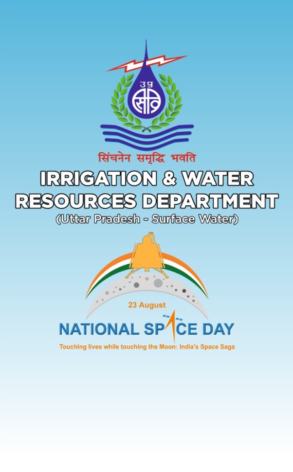
National Space Day – 2024 organised by Information System Organisation (ISO)
Information System Organisation (ISO), Irrigation & Water Resources Department, Uttar Pradesh, successfully organized a large-scale and prestigious programme on the occasion of National Space Day – 2024 under the National Hydrology Project (NHP), Uttar Pradesh-Surface Water. The programme was organized in compliance with the directions issued by the Government of India, Ministry of Jal Shakti, Department of Water Resources, River Development & Ganga Rejuvenation, wherein all implementing agencies under NHP were directed to celebrate National Space Day with the theme “Touching Lives while Touching the Moon: India’s Space Saga.”
As per the Government of India’s communication, the objective of the celebration was to generate awareness among youth and stakeholders regarding the applications of space technology in the water sector, including Real-Time Data Acquisition Systems (RTDAS), Digital Elevation Models (DEM), CORS-based surveys, reservoir bathymetry, glacial lake studies, flood inundation studies and hydrological modelling.
National Hydrology Project (NHP)
Under the National Hydrology Project (NHP), several advanced real-time water monitoring and management systems have been implemented across the State, significantly strengthening hydrological data acquisition, canal monitoring, barrage automation, and discharge measurement capabilities.
Real-Time Hydrological Monitoring through RTDAS
Installation of state-of-the-art sensors (AWLR, ARG, AWS) at 21 reservoirs in Bundelkhand, 19 in Vindhyachal, and 34 gauge sites across the State.
Implementation of Canal Monitoring System (CMS)
Advanced instrumentation deployed at 57 stations under Gandak Canal System and 85 stations under Eastern Yamuna Canal System.
Automation and Smart Monitoring through SCADA System
Modern technologies installed at major barrages including Okhla, Saryu, Adwa, Matatila, Madhya Ganga, and Rapti Barrage for automated gate operations.
Strengthening Discharge Measurement Capacity through ADCP
Procurement and deployment of 40 ADCP instruments across different organizations for modernized real-time profiling and velocity measurement.
Hello Kisan
ISO has established Hello Kisan, a toll-free call center operational since 2023, to strengthen farmer support and ensure timely redressal of irrigation-related issues. Farmers can register complaints via the toll-free number 1800-180-5450.
100% Onboarding of Irrigation & Water Resources Department on e-HRMS Portal
Computer Centre, ISO, successfully achieved 100% onboarding of the Irrigation & Water Resources Department, Uttar Pradesh on the e-HRMS portal, covering a total of 560 offices.